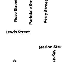
8 WYATT CIR
Owner Information
BYRON ALAN C
10 WYATT CIR
SOMERVILLE, MA 02143


Property Details
8 WYATT CIR is classified as a Two-Family Residential (Family duplex).
The primary structure on this property was built in 1920. There are 3,948ft2 of built area within this property. There is 2,615ft2 of residential/living space within this property. This property is listed as having 11 rooms.
8 WYATT CIR is valued at $1,134,400. The land is valued at $752,500 and the structures are valued at $367,800. There is an additional valuation of $14,100 on this property.
This property is in Zone NR. Confirm with local Zoning Board authorities to ensure there are no overlays or other easements on this property.
The most recent deed for 8 WYATT CIR is recorded at the local registrar in Book 38882, Page 60. 8 WYATT CIR was last sold on Tuesday, April 22, 2003 for $100.
Assessment data from fiscal year 2021.
Flood Data
According to the FEMA National Flood Hazard Layer, this property does not appear to be in a flood zone. It may also be in an area not yet reviewed. Nonetheless, confirm this information prior to taking any action.
To view the flood hazards around this property, create a FEMA "Firmette" Map of the area around 8 WYATT CIR.
Broadband Internet Providers
| Provider | Type | Bandwidth (mbps) | |
|---|---|---|---|
| Verizon New England Inc. | DSL | 15 | 1 |
| netBlazr Inc | Fixed Wireless | 50 | 50 |
| Starry, Inc. | Fixed Wireless | 200 | 200 |
| RCN | Cable | 1000 | 20 |
| RCN | Cable | 500 | 20 |
| Crown Castle Fiber | Fiber | 0 | 0 |
| Viasat Inc | Satellite | 100 | 3 |
| Comcast | Cable | 1000 | 35 |
| VSAT Systems, LLC. | Satellite | 2 | 1 |
| HughesNet | Satellite | 25 | 3 |
| GCI Communication Corp. | Satellite | 0 | 0 |
Broadband service provider data from December 2020.
Adjacent Properties
- 9 HAROLD ST
Three-Family Residential owned by 9 HAROLD LLC - 12 WYATT CIR
Single Family Residential owned by WALSHE GERARD G - 10 WYATT ST
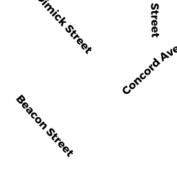
Two-Family Residential owned by BOWES ROBERT S III - 15 DIMICK ST
Residential Condominium owned by CLIFF ESTATES LTD PARTNERSHIP - 15 DIMICK ST
Residential Condominium owned by CLIFF ESTATES LTD PARTNERSHIP - 15 DIMICK ST
Residential Condominium owned by STRAUSS GILLY J - 15-15 DIMICK ST
Other, Open Space owned by None - 17 DIMICK ST
Two-Family Residential owned by NISSENBAUM ALAN J